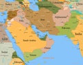
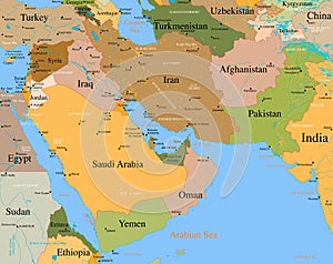
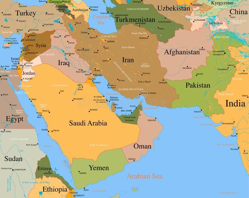
Map Middle East - vector - detailed
Author: Julesunlimited
Map Middle East - vector - detailed
A very detailed map of the Middle East. Each country separately colored and major cities, rivers, deserts, mountains are clearly visible. Good for presentations, school, backgrounds, wallpapers etc. Also available in vector (illustrator) format. This vector contains lots of extra layers which can be switched off and on (rivers, state borders, country names etc)
afghanistan arabia atlas background blue border capitals color communication concept continent countries country detail detailed drawing earth east geographical geography global illustrated illustration india iran iraq israel land lecture longitude map middle ocean oman pakistan presentation saudi school sea selection syria template travel vector view water west world yemen